
Where a Scan to BIM Model Pays Back: Notes From an As-Built Project Timeline
Most teams only count the value of an as-built model at handover. Followed across a project timeline, the payoff shows up much earlier and in several different places. This walkthrough takes a renovation job from first site visit to occupancy and notes where the scanned model earns its keep.
The timeline starts with the survey. A 3D laser scanner records the building as a dense point cloud, and that data is converted into an information-rich BIM model. Because the scanner records the exact physical dimensions of the structure, the model avoids the approximations that come with manual measuring. Typical tolerances sit between ±2 mm and ±6 mm, and a two-layer independent quality check is used to confirm that the finished model still matches the scan data. Teams that want this step handled by specialists often turn to point cloud modeling services so the model is ready before design begins.
Design is the second stop. Old as-built drawings are frequently lost or out of date on retrofit and adaptive reuse work, and they cannot show structural deformation. The point cloud captures the building as it stands today, so architects place new systems against real conditions instead of assumptions. A 3D model also gives designers a clearer view of the site and its surroundings than flat drawings do, which supports better decisions at concept stage.
Coordination comes next. Once MEP and structural components sit in one model, a clash run in Navisworks Manage shows where a duct meets a beam or a pipe blocks maintenance access. Those conflicts are fixed on screen rather than on site. Sharing the model and the point cloud through a Common Data Environment, for example Autodesk Construction Cloud, means everyone reads the same source of truth, whatever their location.
On site, the savings are more modest to describe but easy to feel. Rapid data capture cuts the hours spent on survey visits, and precise data reduces rework caused by measurement mistakes. Remote capture also keeps people out of hazardous areas such as high-altitude zones or chemical plants, and the point cloud stays on file as an objective record of conditions on the day it was taken.
The last stop is operations. A model enriched with manufacturer details, installation dates and maintenance cycles can serve facility management for years after the builders leave. The same dataset can also support heritage work, where a non-invasive scan preserves details of churches and museums as a permanent digital record.
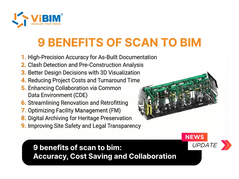
Readers who want the full list of nine advantages, plus the cost and data-handling hurdles, can find the benefits of scan to BIM laid out in the original guide. Read as a timeline, though, the pattern is clear: the earlier reliable site data enters the project, the more stages it improves.