
Checking a Point Cloud Conversion Before You Trust the Result
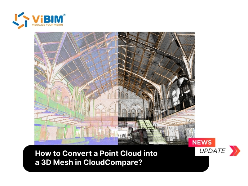
A point cloud is only a list of measured coordinates, and the conversion that follows decides what kind of model comes out of it. The useful way to judge that conversion is to ask what was checked at each stage, not which software ran it.
The first check happens before any surface exists. A raw scan carries ghost points from window reflections, airborne dust and sensor errors, and a meshing algorithm reads every one of them as real surface. Teams therefore filter statistical outliers, remove surface noise and delete what the filters missed by hand. Dense areas are then thinned, because an unthinned scan can run a workstation out of memory during reconstruction. When several scans cover one space, they are aligned and the registration error is confirmed as low before they are merged, otherwise the mesh shows doubled walls and layered floors.
The second check concerns normals. These are vectors perpendicular to the surface, and the mesh uses them to decide which side of each polygon faces outward. Raw clouds usually lack them, so they are computed first, with an orientation method that keeps them consistent across the whole model. A quick look at the shading tells you at once whether the orientation held.
The third check comes after meshing. Poisson reconstruction bridges any gap where the scanner never reached with invented surface, so the density scalar field is used to find and trim those regions. Dense areas mark reliable data and sparse areas mark extrapolated geometry. Only after trimming does the mesh move to a tool such as Blender for hole filling or decimation.
A mesh answers only one kind of question, though. It can look photorealistic and still say nothing about what a wall is made of or which duct feeds which room. When the deliverable has to hold that information, the cloud is traced into parametric elements instead, and the verification changes from smooth surfaces to deviation from the scan. For that kind of deliverable, specialist point cloud to BIM modeling services build the model discipline by discipline and compare it with the cloud before handover.
Format matters at this stage as well. Revit links a scan only through indexed ReCap files, so raw E57 or LAS data is indexed first, and the modeler works one level at a time with section boxes. The accepted result is judged against the Level of Development the project committed to, and scan density decides whether the model can go beyond LOD 300.
For the full method comparison, the five-step CloudCompare workflow and the guidance on when outsourcing pays off, the guide to convert point cloud into 3D model covers each stage in detail.
The common thread is simple. Every stage has a defined check, and a clean model is the product of clean inputs, consistent alignment and a deviation review, not of any single tool.